The end of the trail, so to speak. A 28 mile round-trip run to the Rhine, just outside of Mainz will close out this adventure for us. We looked at the weather and decided that with rain chances building late morning into early afternoon, we would head out at 8 am.
And, like on all other days, after a delicious breakfast, we’d head out. Let me say this about breakfast…. the breakfast waiter, Oscar, is a wonderful chap who makes sure we have plenty of coffee, milk for cereal and anything else we might need. We’ll miss him…..till next year.
We started out with a slow 3 mile ride to the Main River before turning to the west. Now we only had 25 miles to go!
It was an easy ride….. after 5 days of long rides, our legs were in good shape. But then it happened. We came upon the most dreaded thing on the German Radweg system…..the Umleitung!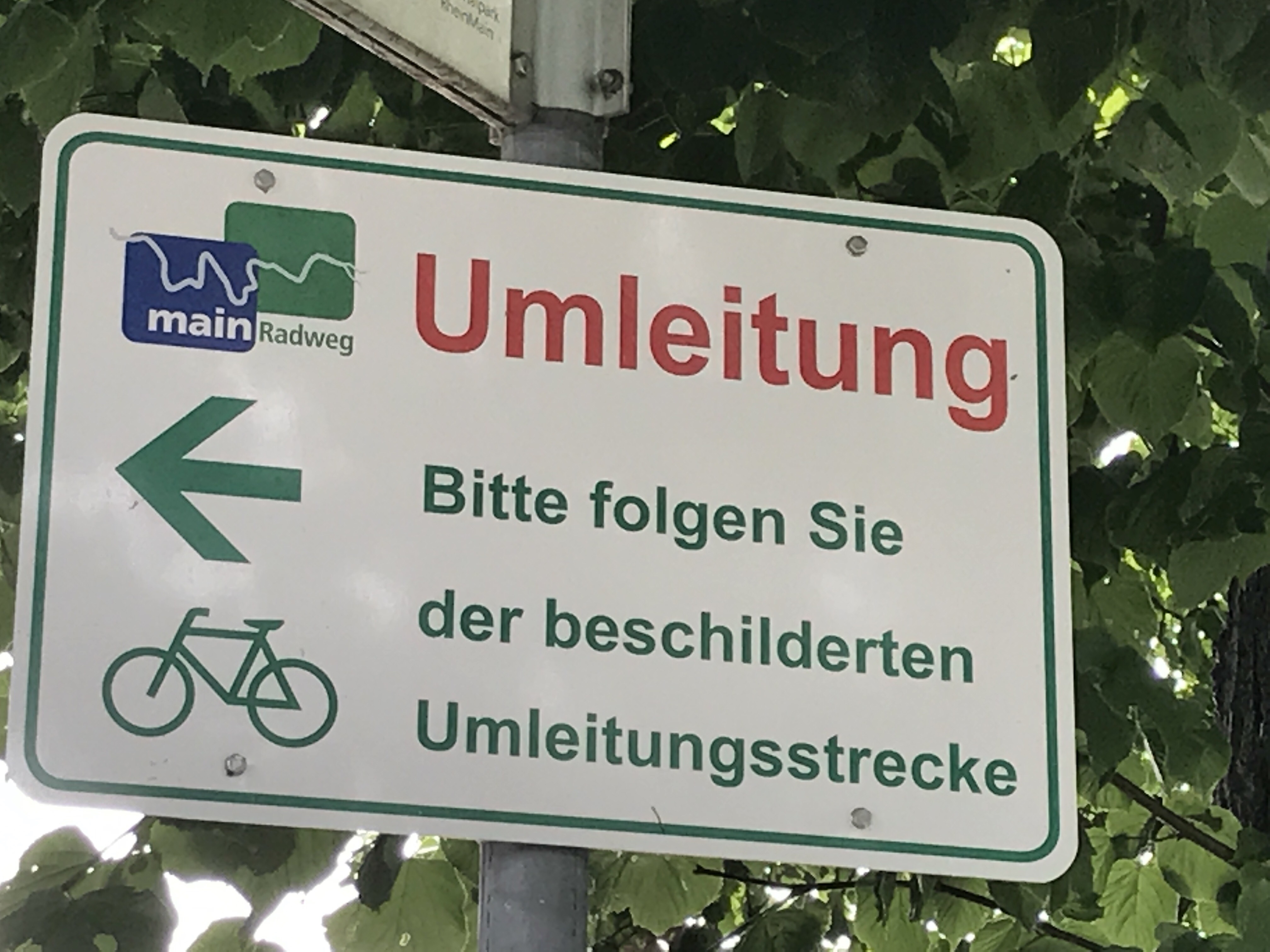
The Umleitung is a detour, usually caused by improvements being made to the cycle way. But the detour may be quite a challenge. Like the other day, a couple of hills and a ferry ride across the river was the detour causing you miss some of the sights. Last year, I was able to take the boat picture but the ferry detour cut it out of our path yesterday. 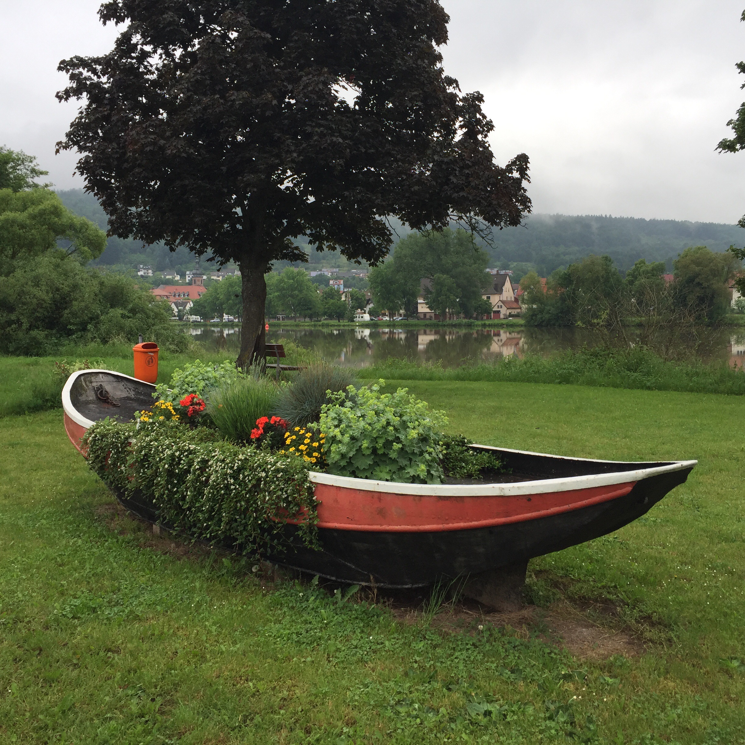 And today’s days Umleitung cut out a sign about Queen Victoria’s vineyard that I always found fascinating.
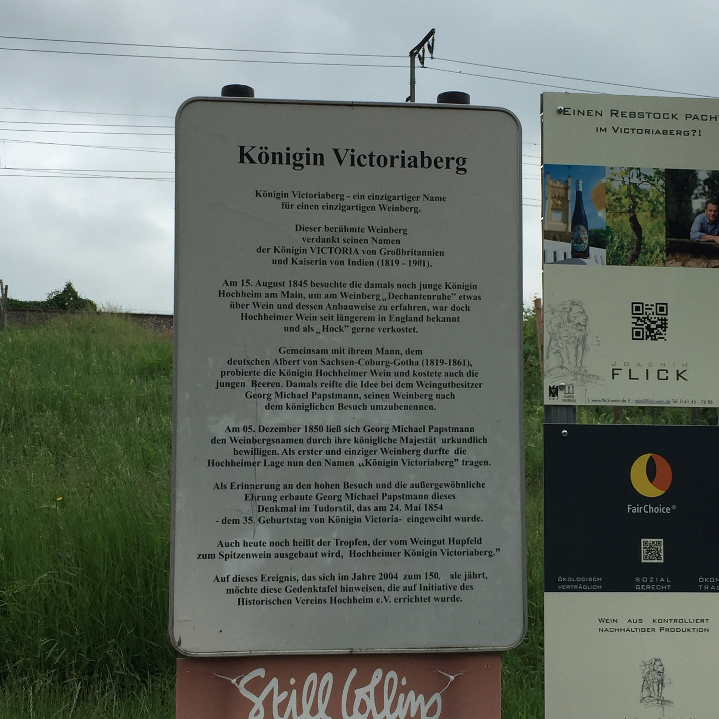
And the other thing….. Hills! 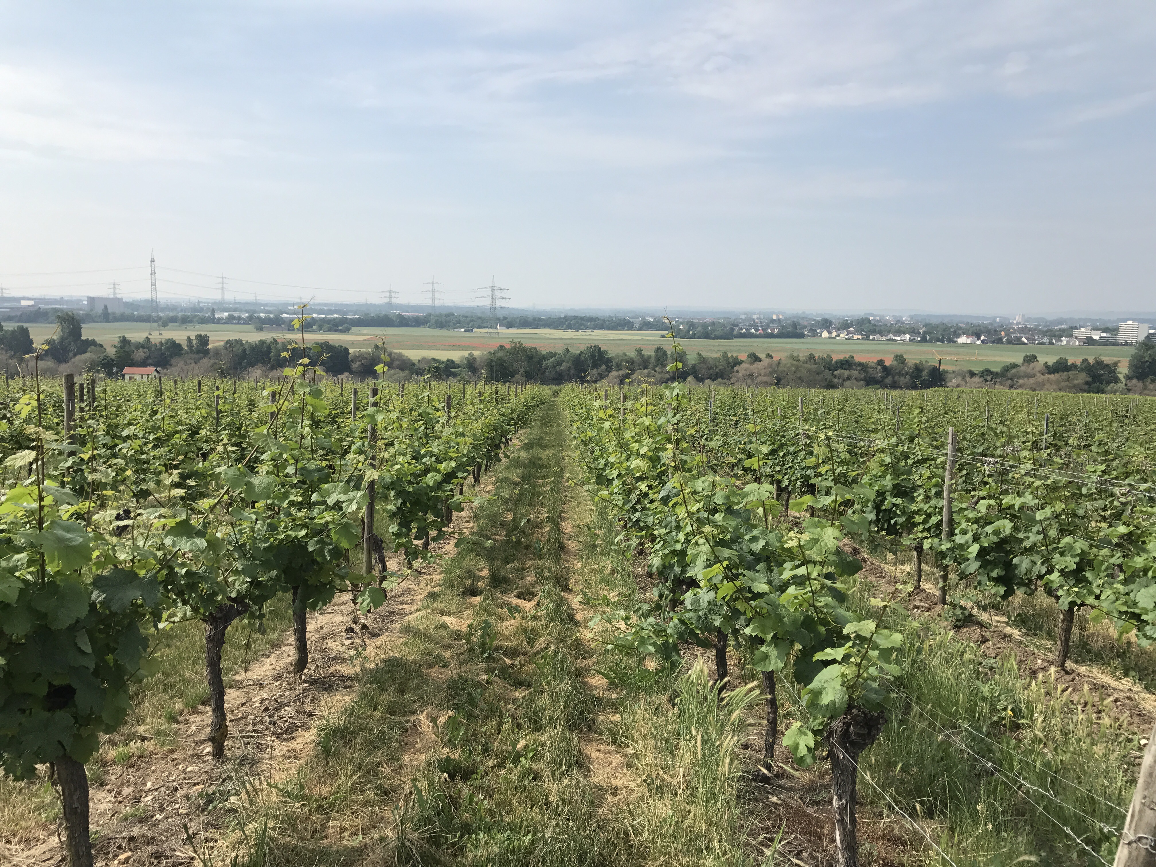 It doesn’t look high but really, it is!!
And I had to go up hills. I hate hills! I have a recumbent bike which if you know anything about them means I am riding in a La-Z-Boy. My legs are out in front of me which makes standing up on a hill impossible. All I can do is gear down and keep cranking. 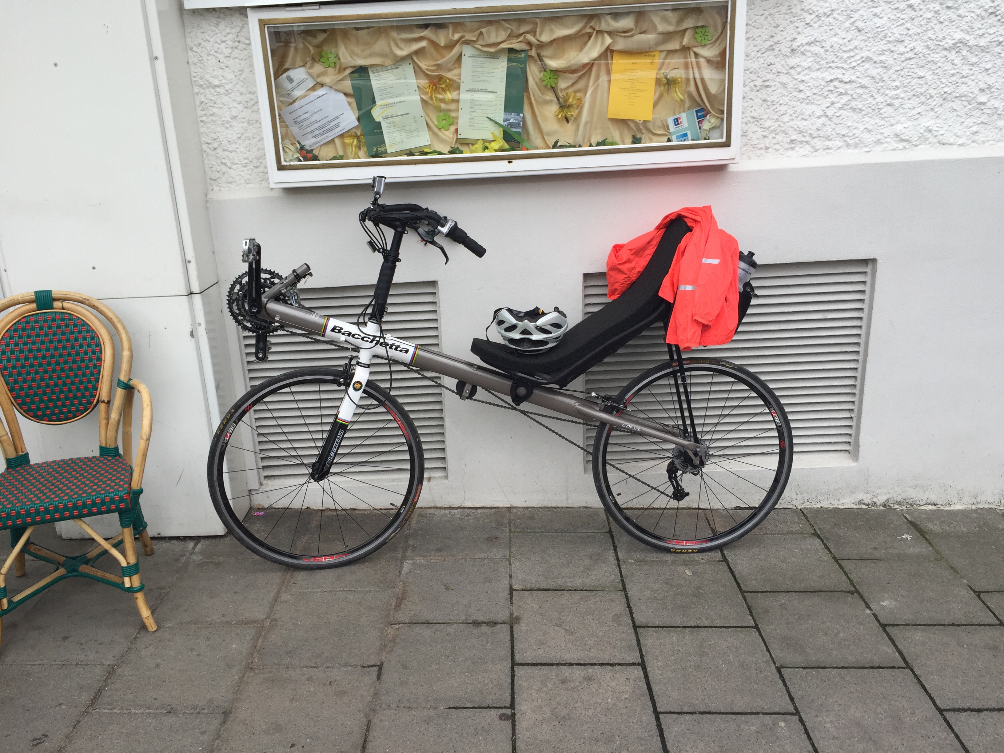
So, I rode as far as I could then got off and walked the remainder up. Not fun. But going downhill was nice until I remembered I would have to go back up again at some point…..
After navigating our way through the Umleitung, we headed the last 4 miles to the confluence of the Main and the Rhine at Mainz. 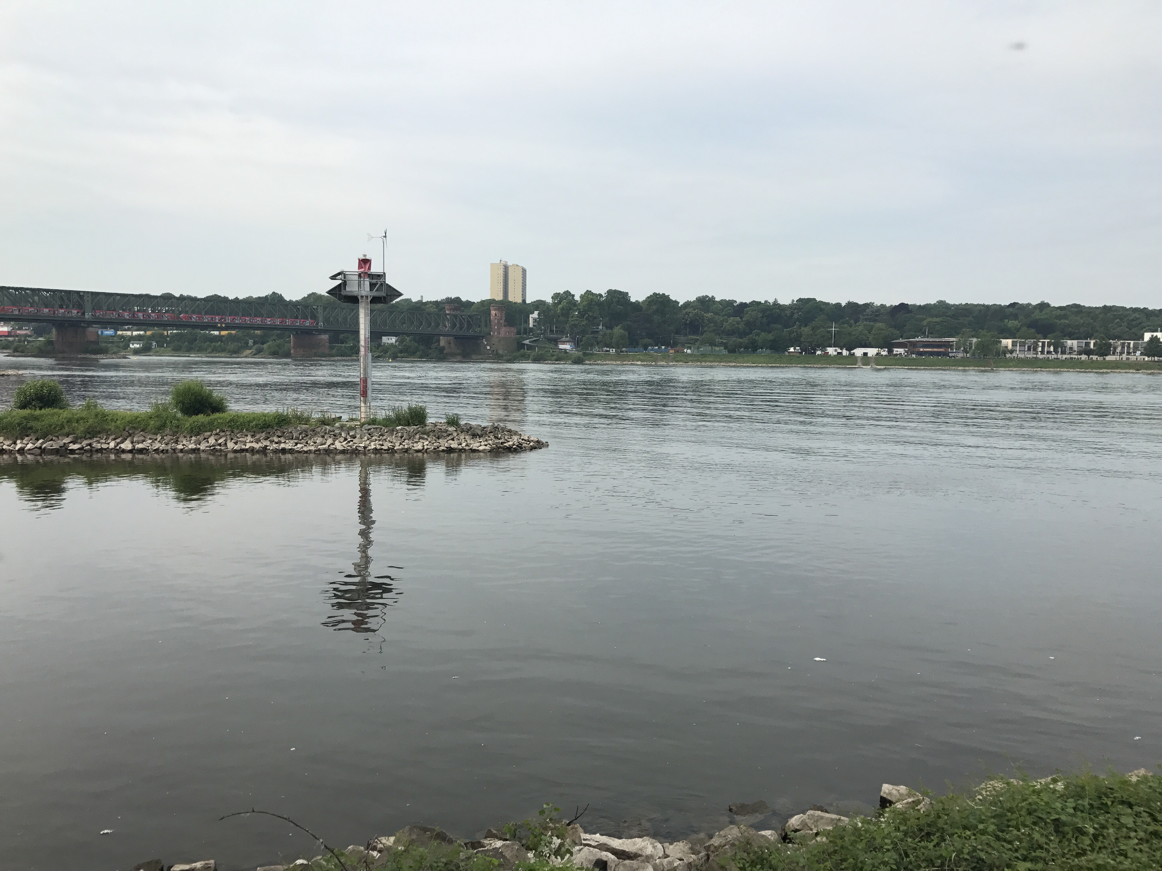 The confluence of the Main and Rhine
There we needed to celebrate a little, reviving a tradition from a couple of years ago…..drinking an Underberg schnaps. 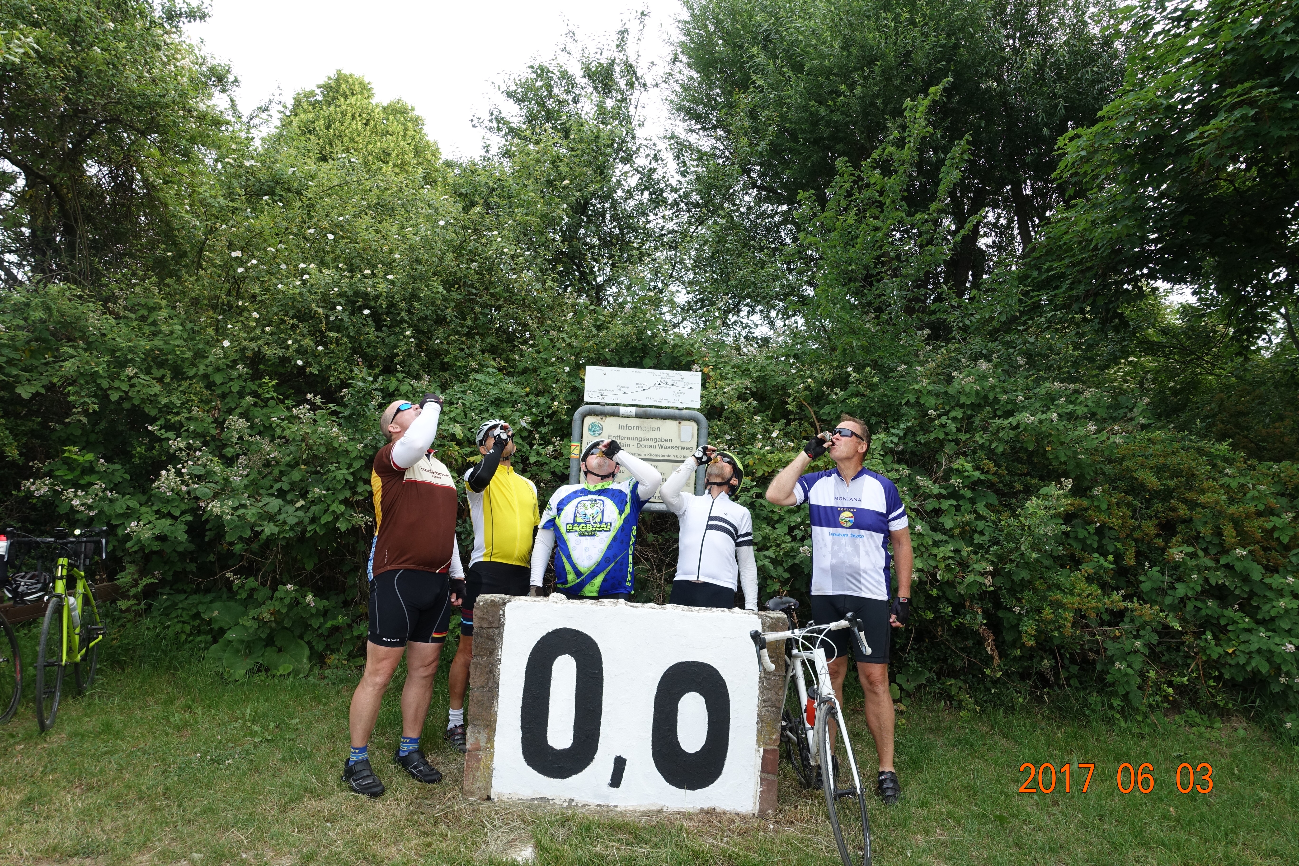
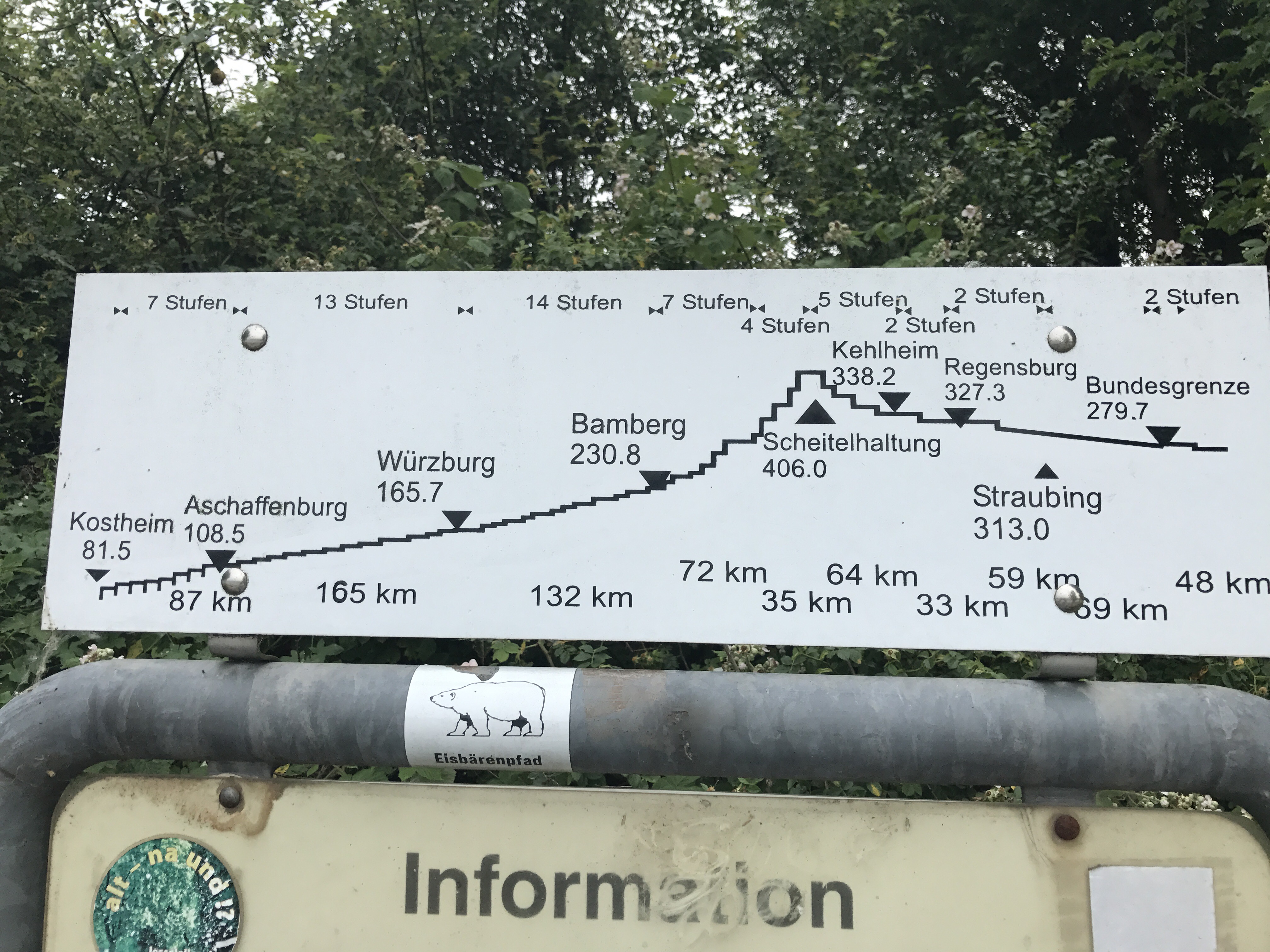
The 0.0 marker signifies the start of the Main Donau system which goes 2967 km all the way to the Black Sea. These two signs show the length plus the number of locks and steps on the system in Germany. 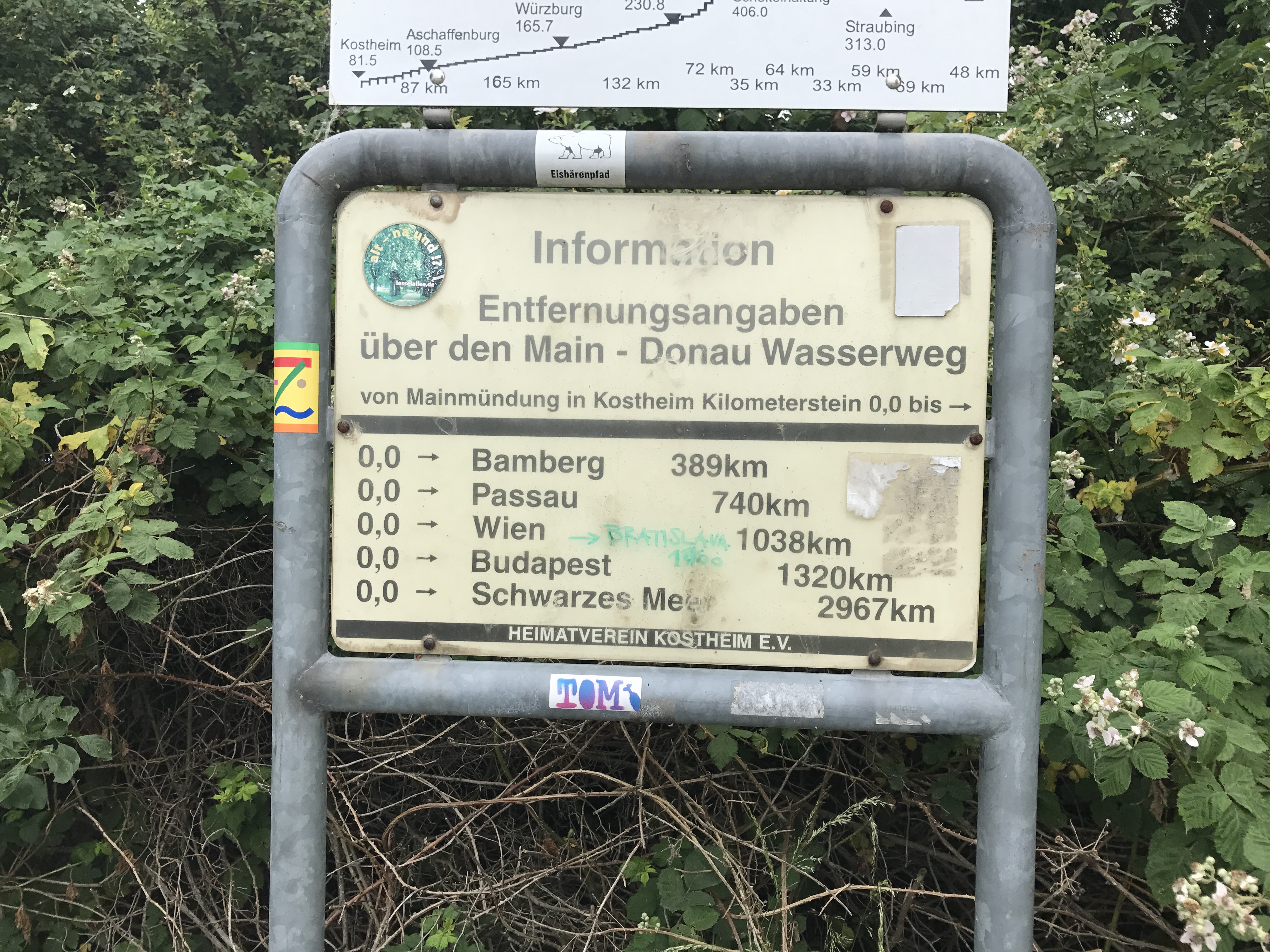
After the schnaps, it was back on the bike, reversing course heading back to Hattersheim. We made it back in good time, missing the rain completely. We were even able to get the bikes ready to return to the bike shop and loaded in the van before the rain started. All in all, a good day, despite the Umleitung!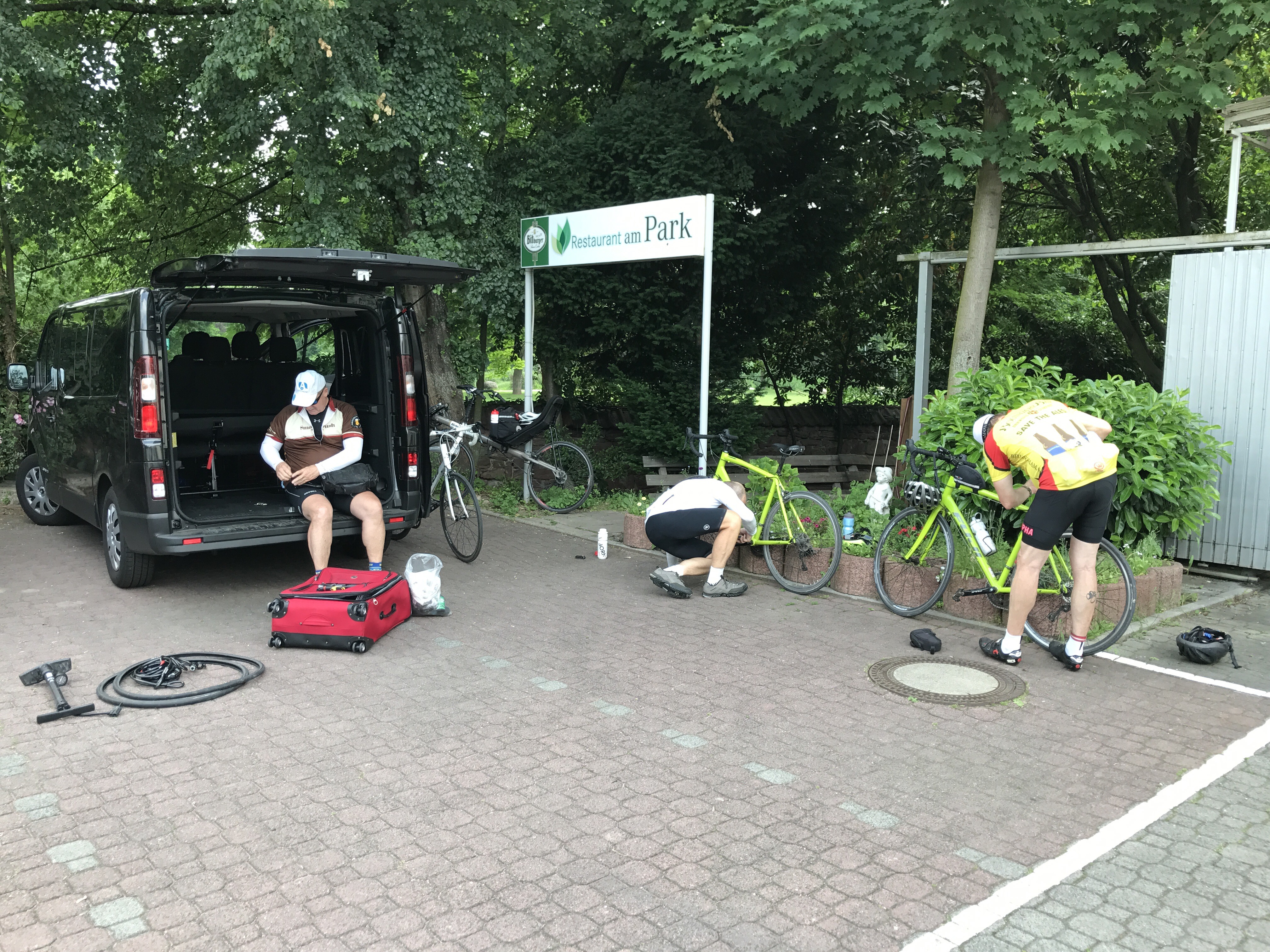
Dinner tonight was at a restaurant recommended by April, wife of one of the riders, the Feldbergblick. Up a hill, close to the Northwest Tower, it has a charming biergarten ambiance plus fantastic food!! Since no more riding, we enjoyed filling ourselves up.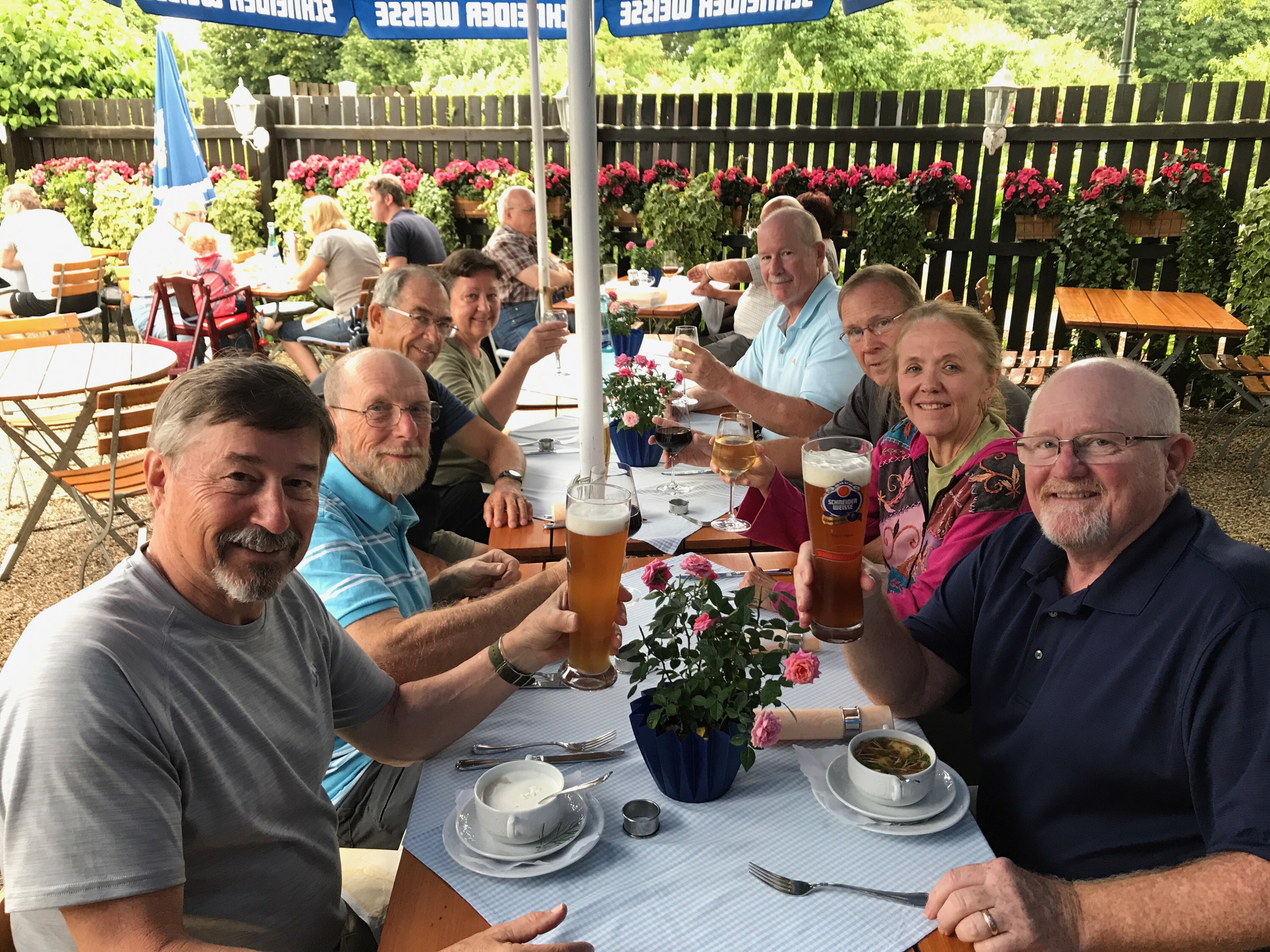
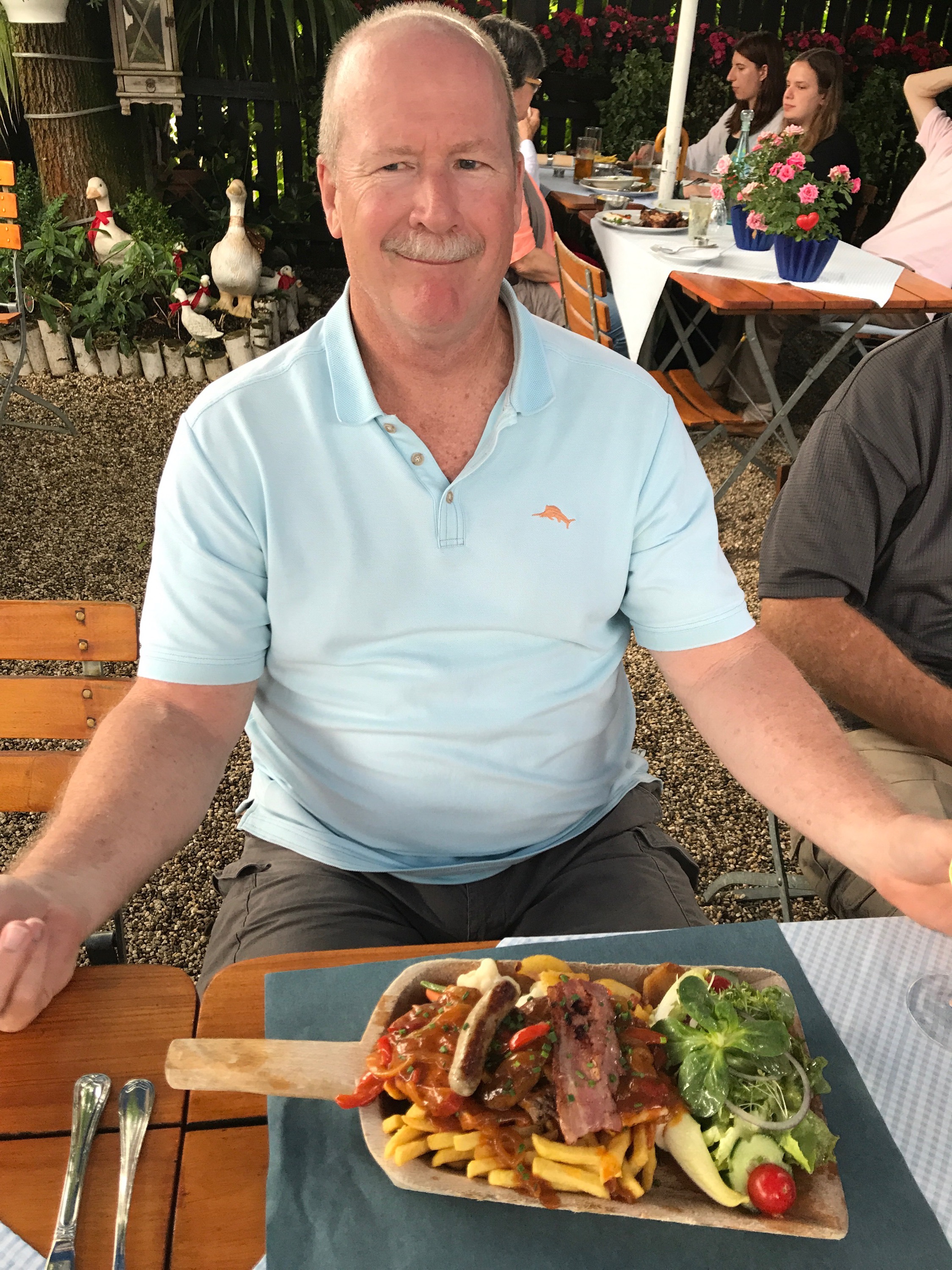 “The Shovel”
Back to the hotel to end the day with a little drink and a chance to chat was the perfect end to this Main Radweg Adventure. 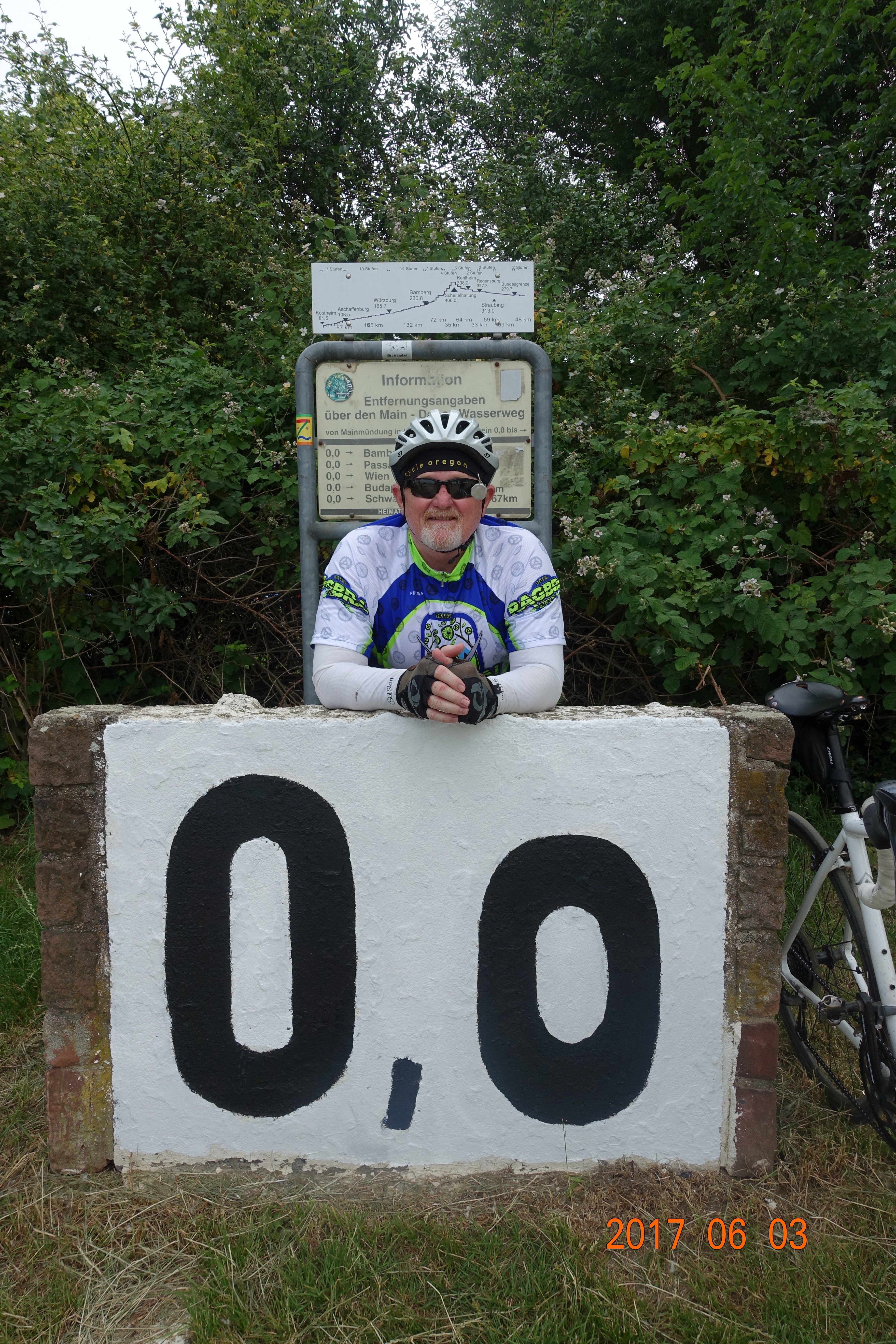
Tomorrow…… a recap and pictures!!!